
Paradise Neighbors by Block
Public sources answer different questions about a Paradise block. OpenWeb shows the shape and setting of surrounding parcels. The Assessor supplies the current card for each APN, including recorded owner, mailing address, and situs. The Recorder adds instruments and legal descriptions over time. Public meeting materials can document a civic issue or applicant, while the HOA map layer identifies association names. None of those sources is a complete list of household members or a promise that an owner lives at the site.
| Source | What It Shows About a Block | Access |
|---|---|---|
| Clark County OpenWeb | Adjoining parcel geometry, owner link, zoning, flood, district context | Public map with parcel select and pan tools |
| Clark County Assessor | Recorded owner, mailing and situs address for one APN | Open each adjacent parcel separately |
| Clark County Recorder | Deed, lien, and plat chain for a parcel | Name, APN, and legal-description searches; copies paid |
| Voter records | Lawfully public registration fields when supplied | Individual service or official data request; protected fields absent |
| HOA and civic sources | Association names or public meeting issues | GIS layer, meeting notices, agendas, minutes, and audio |
Owners and occupants are not interchangeable. A mailing address can identify a trust, manager, or tax correspondence recipient. Renters and other household members often do not appear in property records. Treat an APN as the starting point for a narrow, source-based Paradise neighbors search, not as a household directory.
Select a Paradise Neighbor Parcel
Start at the anchor address in the Assessor address search. The form accepts a street name and optional number, direction, street type, and City/Town. With a number, Clark County notes that the result window reaches addresses within three blocks. The City/Town value describes a legal boundary, not a postal mailing city, which matters because a Paradise location may use a Las Vegas postal label.
Open the matching parcel card and save the APN, situs address, owner name, mailing address, subdivision, unit or lot, plat book and page, legal description, and recorded-document reference. These are the identifiers that connect a map position to an official record. A different mailing and situs address can be a useful lead for later document research, but it cannot establish who occupies the property.
Note: Verify the anchor parcel before comparing nearby lots because a wrong unit, direction, or postal label can place the search on the wrong part of the block.
Map a Paradise Block for Neighbors
OpenWeb turns the anchor APN into a small, repeatable parcel workflow. Turn on the parcel layer, use parcel select, and pan across the adjoining polygons. The map also provides owner links, site address, zoning, planned land use, flood context, districts, APN tree, measure tools, aerial dates, and export or print controls. Measure and distance tools describe geography only. They do not create a resident list or prove who shares a household.
- Locate the anchor address in the Assessor, open the correct APN, and preserve the legal description with the address.
- Open the same area in OpenWeb, select the adjoining parcel polygons, and write down each APN rather than guessing from the map label.
- Open every adjacent APN in the Assessor to compare current owner, mailing address, situs, and parcel facts.
- Use the Recorder's parcel or legal-description search to add a recorded document and date when the question concerns a transfer or plat.
For a complete named-street chain rather than the immediate block, use the Paradise Street Directory. It follows the address, Recorder, permit, and historical-directory evidence at street scale.
Paradise Neighbor Boundary Checks
A block may be described by a street segment, subdivision plat, tract, assessor book and section, census tract, or ZIP. Use the SNGIS Boundaries service when a structured boundary check is needed. It provides Assessor Index, Book/Section, Tract, ZIP Code, and Place layers in JSON or GeoJSON, with a maximum record count of 1,000. Preserve the layer name and source date with any notes.
Paradise is an unincorporated Clark County town and CDP, while surrounding postal addresses frequently say Las Vegas. A ZIP or mailing-city label may cross a legal Paradise boundary. OpenWeb, the Assessor City/Town field, and the county's town or ZIP maps offer useful context, but the county describes GIS display data as reference information without warranty. Confirm the final address with the record custodian and postal service when that distinction matters.
Paradise Voter Records Near a Block
Nevada law makes registration information generally public while protecting registration location, identifying numbers, protected-address information, and other fields. Clark County's dynamic Registered Voter Lookup is intended for an individual's registration status and account services. The static capture did not document a public street-browse screen, so it should not be described as a way to browse Paradise neighbors by address.
Clark County offers weekly voter-data files and an office request route, with files organized by county and districts. Public fields can include name, address where lawfully maintained, status, registration date, precinct, and district context. Ballot choice is never public. Protected voters and Nevada Confidential Address Program participants must not be reconstructed from a nearby parcel, a district file, or a public meeting notice.
Paradise Association Names, Not Rosters
Clark County's HOA GIS layer identifies associations in the Paradise area, including Paradise Valley Townhouse HOA, Paradise Spa Owners' Association, Paradise Springs One Homeowners Association, Paradise Villas HOA, and Park Avenue HOA. The layer is useful for identifying an association that may shape a parcel's community context. Clark County does not oversee HOAs, and the research found no official public member lists for these associations.
Clark County's HOA map-service layers display the association geography and names behind that limited finding.
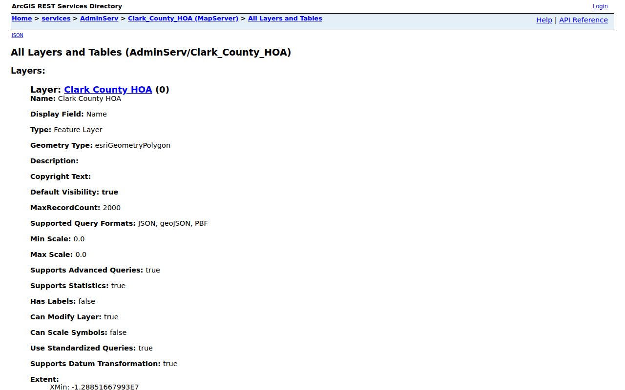
Association membership, contact lists, and private group rosters are not supplied by the county layer. Use the map to understand an association boundary, then contact the association through an authorized channel if a legitimate community matter requires it.
Paradise Civic Contact Points
Public civic resources are more useful for following a neighborhood issue than for naming everyone who lives nearby. The Paradise Town Advisory Board is an advisory body, not a resident roll. Its agendas, minutes, audio, and applications can identify public participants and development addresses in the context of a meeting. TAB bylaws require five qualified Paradise electors, and meetings are open under Nevada's Open Meeting Law.
| Paradise Town Advisory Board | Meets at 4775 McLeod, Paradise Park Community Center; published agendas, minutes, audio, and board information provide the local civic channel. |
|---|---|
| Clark County HOA layer | Maps association names and boundaries. It is not a county-maintained member directory. |
| Nevada HOA Ombudsman | County referral information directs HOA complaints to the state Ombudsman route. |
| Clark County Elections | 965 Trade Dr, North Las Vegas; 702-455-8683. The office handles registration services, confidentiality, and data-file questions. |
Clark County's TAB and CAC information describes the public advisory-board structure and meeting context.
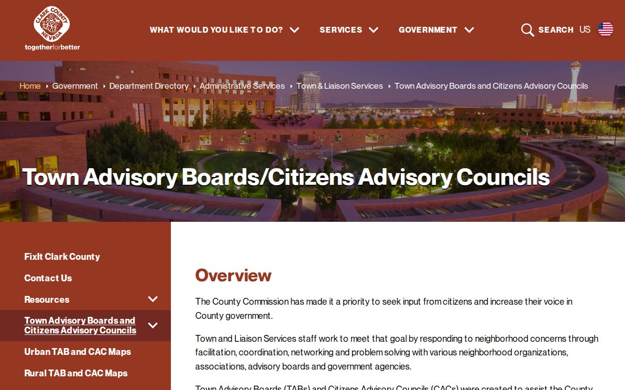
The county's explanation helps distinguish a public advisory forum from a private association roster. A speaker or applicant appearing in meeting material should not be treated as a current neighbor without separate, current evidence.
Paradise Town Advisory Board meetings and records provide the location-specific agendas, minutes, and audio.
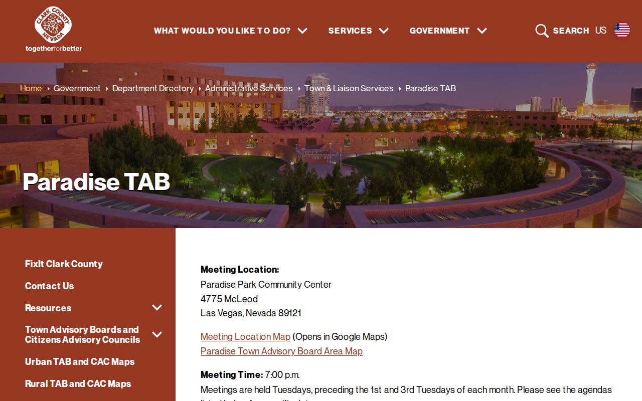
Use those materials to follow a public planning, traffic, or neighborhood issue. They are valuable civic records, but they do not establish a complete block membership list.
Historical Paradise Neighbors
For an older block, address-first directories can add a past occupant to the parcel trail. Nevada State Museum Las Vegas holds documented Luskey criss-cross directory years for 1956, 1957, 1959, 1966, and 1967. UNLV also has Paradise Valley material from 1950 through 1965 and Las Vegas city-directory material from 1969. Because Paradise often appears under Las Vegas in historical materials, search both place terms and street suffix variations.
Historical directories and newspaper indexes are snapshots. They can show a name and address at a particular time, but they do not prove present residence. Pair an old entry with the parcel's legal description, a recorded document, an obituary, or an archive finding aid before connecting it to a modern block.
Note: The documented criss-cross years are selective holdings, not evidence of a complete annual series for every Paradise street.
Official Records and Neighbor Tools
Official sources and commercial neighbor-search products answer different questions. The first group has a named custodian, a stated scope, and a way to request correction. The second category compiles public filings, address histories, phone, and marketing data that can be stale or conflated between same-name people. Neither category can lawfully fill in protected addresses or non-public household membership.
| Source category | Useful for | Limits |
|---|---|---|
| Official parcel, Assessor, and Recorder records | Parcel identity, recorded owner, instrument, legal description, and date | May not identify occupants; access and copy rules vary |
| Official civic and election channels | Public meeting context and lawfully available registration information | Protected fields and addresses remain unavailable |
| Commercial compiled category | A lead that must be independently checked | Can be stale, mixed, incomplete, or unable to correct the original record |
Use the original Paradise or Clark County custodian to verify a specific public fact. Do not turn a commercial profile, a map label, or a meeting appearance into a claim about every person on a block.
Paradise Neighbor Lookup Privacy
Even a carefully mapped block has private limits. Household members who are not on a deed or lawfully available voter record, renters, utility and delivery customers, DMV personal addresses, protected voter information, and sealed court or vital details are not public neighbor data. The Nevada Confidential Address Program supplies qualifying participants with a fictitious address and mail forwarding, and its protected records must not be reverse-engineered from adjacent parcels or older documents.
Correct a source at the office that created it. Ask the Assessor about a parcel field, the Recorder about an instrument or index entry, Elections about registration data, and the court clerk about a case record. A block map is strongest when it stays within its source: it can describe adjacent public parcels, not everyone who lives in Paradise or every person connected to an address.
Lawful use. Use Paradise neighbors research for lawful personal, civic, family-history, or community-context purposes. Nevada law prohibits using public information to stalk, harass, threaten, intimidate, or harm another person.