
Paradise ZIP Code Coverage
Clark County's ZIP boundary map, dated November 22, 2025, labels 13 ZIP intersections in the broader Paradise and Las Vegas Valley area. It is a map-intersection list, not a claim that every address in every row lies within legal Paradise. Exact post-office or station assignments for the rows were not located in the official research, so USPS remains the final authority for a complete address. The table preserves that distinction rather than inventing a service-area boundary.
| ZIP | Areas on the county map | Post office | Research note |
|---|---|---|---|
| 89014 | East Valley, Henderson-side overlap | USPS lookup required | Verify the legal Paradise line in GIS. |
| 89074 | Henderson and southeast Valley overlap | USPS lookup required | Not every address is Paradise. |
| 89102 | Central Las Vegas, western-northwestern edge | USPS lookup required | Postal and legal-town geography differ. |
| 89103 | Central-west Las Vegas and Paradise-area overlap | USPS lookup required | Check each address. |
| 89109 | Strip and central resort corridor | USPS lookup required | Unincorporated Paradise context occurs here. |
| 89118 | Southwest, airport, and industrial Valley context | USPS lookup required | Map overlap is not a place boundary. |
| 89119 | UNLV and central-southeast Valley | USPS lookup required | Includes major unincorporated areas. |
| 89120 | Southeast Valley and Paradise map context | USPS lookup required | Confirm parcel and town line. |
| 89121 | East-central Paradise and McLeod context | USPS lookup required | Strong Paradise-area overlap, still address-specific. |
| 89123 | South Valley, airport, and southeast context | USPS lookup required | Legal and postal boundaries differ. |
| 89154 | UNLV institutional context | USPS lookup required | PO Box or institutional-style caution. |
| 89158 | Central institutional context | USPS lookup required | Unique-style geography may apply. |
| 89169 | East Strip and Paradise boundary context | USPS lookup required | Strong overlap, not a complete Paradise list. |
The County map is useful for seeing where the labels meet. It cannot establish a resident, a delivery point, or a legal town designation by itself.
Thirteen Paradise ZIP Intersections
The County's free GIS maps catalog is the documented entry point for ZIP, town, election, and district map products. The map's broad footprint explains why Henderson-side codes, Strip-area codes, and UNLV-related codes can all be relevant to a Paradise address question. It does not replace a parcel-level check.
The official Clark County GIS maps page supplies the source context for a Paradise ZIP code directory search.
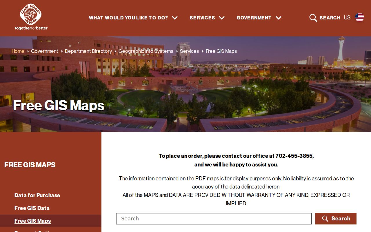
County map categories make it possible to compare ZIP, town, and election layers without treating any one layer as a resident list.
Paradise ZIP Code Postal Checks
USPS ZIP Code Lookup has three useful modes: By Address, By City and State, and Cities by ZIP. Use By Address with street address, city, state, and an optional ZIP when verifying one delivery point. Use By City and State when an old record gives a locality but no full ZIP. Use Cities by ZIP to inspect postal labels associated with a code. Secondary or unit details may be necessary when USPS returns multiple matches.
USPS standardizes a mailing address but expressly does not confirm that a person or organization is at it. That makes postal verification a first step in a ZIP code directory workflow, not person confirmation. Preserve the normalized result alongside the original historical spelling when research depends on an older directory or map.
| USPS lookup mode | Fields supported by the research | Best use |
|---|---|---|
| By Address | Street address, city, state, optional ZIP | Verify one complete delivery address. |
| By City and State | City and state | Find postal possibilities from a locality label. |
| Cities by ZIP | ZIP | Review postal labels linked to the code. |
Search Paradise ZIP Code Records
A ZIP narrows the geography, but Clark County does not document a ZIP-wide owner export in the Assessor portal. The Assessor address search is street and legal-town based. OpenWeb can display ZIP and Place layers, then let a researcher select individual parcels. Voter files are organized by county, district, and precinct, not a public ZIP browse. The process therefore moves from a postal ZIP to a specific parcel, not from a code to a roster.
- Verify the target address and postal ZIP with USPS, including a unit when the tool requests one.
- Turn on ZIP Code and Place layers in OpenWeb or the SNGIS service to compare the delivery area with the town context.
- Search the Assessor by street and legal City/Town, then save the APN, situs, mailing address, and legal description from the parcel card.
- Use the APN or legal description in the Recorder index for recorded instruments, and use the documented directory or map bridge only after the address has been normalized.
- For election data, use the County's official request or district files within the limits of Nevada law, never as an all-address ZIP list.
Once the ZIP has narrowed a location to a street, use the Paradise Street Directory for the address-by-address parcel and deed sequence.
Paradise ZIP Map Layers
Clark County OpenWeb can pair a selected parcel with site address, jurisdiction, legal subdivision, book and page, lot or block, zoning, flood context, tax district, and elected districts. Its related SNGIS Boundaries service exposes ZIP Code, Place, Assessor Index, Book/Section, and Tract layers. The services are a geographic comparison tool, not a guarantee of record completeness.
Use the ZIP and Place layers first, select the parcel second, and read the Assessor card third. This order avoids confusing an apparent map overlap with a legal boundary. County GIS map displays are reference material and carry a no-warranty limitation.
Paradise ZIP Code Record Keys
A ZIP, street address, APN, and legal description are four different keys. The ZIP is delivery geography. The situs address identifies the physical parcel. An APN identifies the Assessor parcel. The legal description is the recorded land identifier, often using a subdivision, plat book and page, lot, block, unit, or township-range-section. Preserve both the APN and legal description when moving from a ZIP map into property history.
The Recorder index supports parcel number, instrument number, legal description, name, document type, book/page, and date searches. Its online Official Records index begins in 1988, while Recorder microfilm reaches 1909. For older material, use the Recorder counter or research route rather than assuming a ZIP search can replace parcel and legal-description work.
Note: An Assessor City/Town result supplies legal-boundary context. It is not a USPS postal-city field and should never be substituted for address verification.
Paradise ZIP Code Voter Data
Clark County Elections offers an individual registration-status service, weekly voter-data files, official data-request channels, counter service, phone contact, and a Nevada Public Records Act route for non-exempt historical administrative material. The weekly files are organized by county and electoral districts. They do not create a public ZIP code directory of all residents. Historical election documents from 1910 through 1996 may need the County archive path, library resources, or a request that names the date and district.
Nevada law protects registration location, identifying numbers, and protected-address information. Some information can be withheld through statutory confidentiality or the Nevada Confidential Address Program. A geographic search must stop when an address is protected; do not try to fill a gap with map inference or another record source.
Paradise ZIP Boundary Mismatch
Paradise is an unincorporated Clark County town/CDP, not an incorporated municipality. Its postal delivery geography commonly uses Las Vegas. The Paradise CDP, the county's Winchester/Paradise planning area, a postal label, and a ZIP boundary are related but separate definitions. County planning describes the town area as about 47 square miles, while Census QuickFacts uses a CDP land-area definition. The difference is a boundary-definition issue, not a reason to merge the categories.
- ZIP code
- A USPS delivery-routing code, not a legal town boundary or a resident list.
- ZIP+4
- An added four-digit delivery segment used to refine mail routing beyond the five-digit ZIP.
- PO Box ZIP
- A ZIP associated with post-office box delivery; it may not describe a normal geographic delivery area.
- Unique ZIP
- A code associated with one institution or large recipient pattern; confirm its status with USPS.
- Carrier route
- A mail-delivery grouping below the ZIP level; it is not a public list of people.
The practical check is always three-part: USPS for delivery, Assessor or GIS for legal parcel context, and the record custodian for the underlying property or recorded instrument.
Paradise ZIP Institution Caution
The county map labels 89154 and 89158 in institutional-style contexts. The research does not establish that either code represents a conventional residential boundary. Treat them as a USPS verification case, especially near UNLV or other major institutions. The same caution applies to any map label that looks like a place name but is actually a delivery arrangement.
Likewise, 89121 and 89169 have strong Paradise-area postal overlap, but the map does not place every address in those codes inside legal Paradise. ZIP coverage is useful for organizing a search, yet an address-level confirmation remains necessary.
Paradise ZIP History Bridge
No official source located a Paradise-wide ZIP realignment, street-renumbering event, or readdressing project. An old label should therefore be traced with evidence: compare the historical street spelling, a map with street index, the recorded plat or legal description, the current APN, and USPS normalization. The R.L. Polk Arrow map from about 1957 to 1961 has a street index and insets that can help connect an older Las Vegas-area reference to a later parcel search.
Recorder microfilm from 1909, maps from the 1950s onward, and historical address directories supply different parts of that bridge. Record the map or directory date alongside the current postal result. A code that appears on a modern map should never be projected backward onto a historical entry without a supporting address or parcel link.